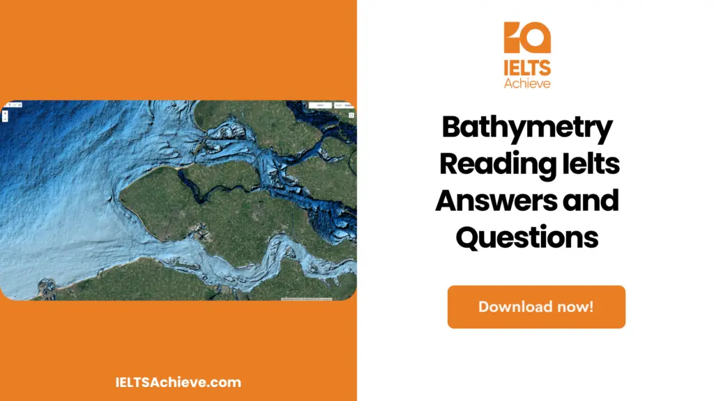
The Blog post contains the following IELTS Reading Questions:
- IELTS Reading Table Completion
- IELTS Reading Matching Features
- IELTS Reading Locating information

IELTS reading passage – Bathymetry
Bathymetry
The sea floor is often treated as the last frontier on earth, as it is still largely unexplored territory. Bathymetry, also known as the seafloor, involves mapping and measuring the depths of the underwater world. Much of the ocean floor remains unmapped today. This is because collecting bathymetric data in the deep sea is a time-consuming and complex task.
Two hundred years ago, most people had an assumption that the ocean floor resembled a beach or shore. During the 19th century, attempts to map the seafloor consisted of unloading heavy fishing lines from a boat and waiting for the line’s tension to change. Water depth was determined by measuring the slack when the handline touched the seabed. Each of these measurements was called a sounding, and thousands of soundings had to be made to get a rough measurement of a small portion of the ocean floor. In addition to depth estimates, these surveys helped identify major vessel hazards, especially near shore. A Naval officer published the first evidence of seamounts in 1855 in a bathymetric chart.
During World War I, scientists developed techniques to measure sound waves in the ocean. The Anti-Submarine Detection and Invention Committee (ASDICs) was the original name for these underwater acoustic projectors, but by World War II the United States and many other countries had adopted the term sonar. Sonar, short for Sound, Navigation, and Ranging, was first used to detect icebergs and submarines. By calculating the time it takes for a sound signal to reflect back to the original source, sonar was able to measure the depth of the ocean and the depth of objects within it. The first sonars were passive systems that could only receive sound waves. In the 1930s, a single beam sonar was used to transmit sound waves in a vertical line from the ship to the seafloor. Sound waves were recorded as they returned to the ship from the surface. However, this type of sonar was more useful for detecting underwater objects than for mapping the sea bed. During World War II, technology improved and active sonar systems were used that both received and produced sound waves. It was the invention of acoustic transducers and acoustic projectors that gave way to this modern sonar. A new system has made it possible to identify specific substances such as rocks and mud. Because mud absorbs a significant portion of the acoustic signal, it provided a much weaker echo than rock, which reflects much of the sound wave.
Hull-mountable multi-beam sonars were developed in the 1960s. With this type of sonar, multiple beams can be fixed at different positions to study larger areas of the ocean. Maps created using multibeam sonar helped explain the formation of ridges and rifts such as the Ring of Fire and the Mid-Ocean Ridge. The Ring of Fire is the zone that surrounds the Pacific Ocean and is famous for its seismic activity. Stretching from the coast of New Zealand to the coasts of the Americas, this region is home to more than 75% of the world’s active and dormant volcanoes. The mid-ocean ridge is part of a seamount that is 12,000 feet high and 1,200 miles wide. These mountains, which zigzag around the continent, are widely considered to be the most prominent topographic features on Earth.
Another modern step forward in the field of bathymetry was the invention of the side-scan sonar. This kind of sonar is pulled by cables, which lets it send and receive sound waves over a large area of the seafloor at much lower angles than the multi-beam sonar. Side-scan sonar is useful because it can discover very specific features over a large area. Satellite data from space is the most modern way to do bathymetry, but it is also the least accurate. In the 1970s, this method started to be used. Radar altimeters that pick up echoes from the sea surface are used for this kind of mapping. These signals find out how far away the satellite is from the ocean floor. But Unfortunately, electromagnetic waves often slow down as they travel through the atmosphere because of water vapour and ionization. As a result, the satellite gets the wrong measurements. Using satellites to map the ocean is helpful because they can take pictures of the entire globe, even the places on earth that haven’t been measured by sonar yet. At the moment, satellite altimetry is mostly used to find places where detailed sonar measurements need to be done.
The topography of the seafloor is always changing because of the constant flux of plate activity. Scientists think that bathymetry will become one of the most important fields of study as people look for new energy sources and other ways to send and receive messages. A precise map of the seafloor will also be needed to protect the ocean’s ecosystem in the future.
Bathymetry Reading Questions
Questions 1-6
Complete the table below. Write NO MORE THAN THREE WORDS.
MAPPING THE OCEAN FLOOR
| Method | First used | Used for | How to work |
| Weighted line | 1_________ | Determining 2________ | Drop a line until it hits the bottom |
| 3________ | 1930s | Detecting objects underwater | Send 4________ to ocean floor |
| Multi-beam sonar | 5_________ | Mapping larger areas of the different directions | Send multiple sound waves in |
| Satellite altimetry | 1970s | Taking pictures of 6_______ | Send signals from satellite |
Questions 7-10
Match each description below with the ocean region that it describes. In boxes 7-10 on your Answer Sheet, write
1. if it describes the Ring of Fire
2. if it describes the Mid-Ocean Ridge
7. It is known for the earthquakes that occur there.
8. It is over one thousand miles wide.
9. It is a mountain range.
10. It contains the majority of the earth’s volcanoes.
Improve your performance in Matching Features questions by clicking here to access our comprehensive guide. Learn how to match specific features or characteristics with the options provided in the IELTS Reading section.
Questions 11-13
The list below gives some possible reasons for mapping the ocean floor. Which THREE of these reasons are mentioned in the reading passage? Write the appropriate Roman numerals i-vi in boxes 11-13 on your Answer Sheet.
i. Predicting earthquakes
ii. Finding new fuel resources
iii. Protecting ocean life
iv. Understanding weather patterns
v. Improving communications systems
vi. Improving the fishing industry
Stay informed and prepared for success – Explore our comprehensive Reading Test Info page to get valuable insights, exam format details, and expert tips for mastering the IELTS Reading section.
Unlock your full potential in the IELTS Reading section – Visit our IELTS Reading Practice Question Answer page now!
Recommended Questions:
Renewable Energy IELTS Reading Question with Answer
Bathymetry Reading answers
1. 19th CENTURY
2. DEPTH
3. SINGLE BEAM SONAR
4. SOUND WAVES
5. 1960s
6. ENTIRE GLOBE/EARTH
7. A
8. B
9. B
10. A
11. ii
12. iii
13. v

We hope you found this post useful in helping you to study for the IELTS Test. If you have any questions please let us know in the comments below or on the Facebook page.
The best way to keep up to date with posts like this is to like us on Facebook, then follow us on Instagram and Pinterest. If you need help preparing for the IELTS Test, join the IELTS Achieve Academy and see how we can assist you to achieve your desired band score. We offer an essay correction service, mock exams and online courses.

