The Blog post contains the following IELTS Reading Questions:
- IELTS Reading Multiple Choice Questions
- IELTS Reading Matching Features
- IETLS Reading Summary Completion
Stay informed and prepared for success – Explore our comprehensive Reading Test Info page to get valuable insights, exam format details, and expert tips for mastering the IELTS Reading section.
IELTS reading passage – Mapping
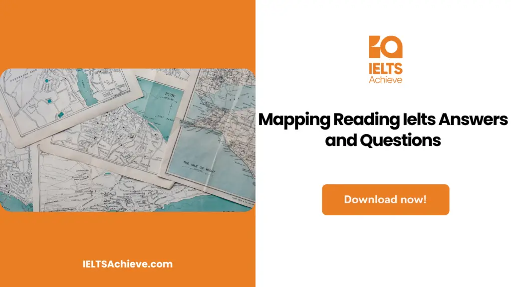
Mapping
These days, a mapmaker’s vision is not limited by what the eye can see. The crow’s nest of the sailing ship, the mountain top, and the airplane have given way to new orbital altitudes as the perspective of mapmaking. Radar can see through dense jungle cover and has created the first maps of the mountains on Venus. Radar works by sending microwave radio waves to a surface and collecting photos of its shapes and textures. Additionally, charts of the seafloor are created using a mix of sonar and radar, which first places a large portion of Earth on a map. According to the opinion of Joel Morrison who is the chief of geography at the U.S. Bureau of the Census, “Suddenly it’s a totally different universe for us.” Even in five years, “our future as mapmakers is dubious.”
The basement of the Congress Library in Washington, D.C. houses the biggest collection of maps in the world. Up to 4.6 million map sheets and 63,000 atlases make up the collection, which also contains stunning bound collections of intricate maps from the Dutch cartography’s heyday. In the reading room, academics use magnifying lenses to study historic maps while donning thin cotton gloves to safeguard the delicate sheets. People are analyzing the most recent maps while seated at their computers across the room. Computers can store information about people, places, and surroundings — the elements of maps — thanks to their enormous memories. Information is then presented on screens practically immediately in the proper geographic context, and with the touch of a button, a printout of the map is produced.
The first significant step in scientific mapping was the measurement of the spherical Earth. The Greek astronomer Eratosthenes, a student at the renowned Alexandrian Library in Egypt in the third century BC, was the first to accomplish this. His estimate of 25,200 miles for the circumference of the Earth was amazingly accurate. We currently know the longitudinal circumference to be 24,860 miles.
Ptolemy, an astronomer and geographer who lived in the second century AD, developed a system for arranging maps using latitude and longitude grids by building on the theories of his forebears. The reason for the width of current time zones is that meridians are typically spaced at intervals of 15 degrees and parallels are frequently spaced at intervals of 10 to 20 degrees. Ptolemy’s suggestion to cartographers to produce scale-based maps is another one of his legacies. On modern maps, distance is shown as a percentage or ratio of the actual distance. However, Ptolemy’s mapmakers lacked the geographic expertise necessary to uphold his scientific standards. Maps are not accurate representations of reality, even today, when surveyors can reach accuracy down to inches and satellites can plot probable missile targets down to feet.
But just as the compass enhanced navigation and increased demand for practical charts, the printing press, which was developed in the 15th century, freed monks from producing maps, which had previously tended to represent religion rather than geography. Ocean-going ships ushered in an era of exploration by expanding the scope of what could and needed to be mapped and arousing a thirst for knowledge about the wider globe.
Mapmakers in the fifteenth century gradually replaced theology with knowledge of distant locales as recorded by travelling merchants like Marco Polo, who were inspired by the rediscovered Ptolemy, whose work had been conserved by Arabs after the destruction of the Alexandrian Library in AD 931.
The most famous shipbuilder of the 16th century, Gerhardus Mercator, devised a method for positioning meridians and parallels that allowed navigators to draw straight lines between two sites and maintain a consistent compass course between them. The “Greenland issue” was established by this distortion formula on his world map from 1569. One of the numerous issues with trying to depict a round world on a flat piece of paper is that Greenland still appears to be as big as South America on some modern standard maps. But because the Mercator projection was so valuable, sailors continued to choose it.
With the accomplishments of the Cassini family, including the father, son, grandson, and great-grandson, scientific mapping of the area came into its own. The system’s creator, Jean-Dominique, who was born in Italy, developed a sophisticated way to calculate longitude based on observation of Jupiter’s moons in the late 17th century. Surveyors were able to create an accurate map of France using this method. His great-grandson published their renowned Cassini map in 1793, during the French Revolution, while the family continued to explore the French countryside. Even while it might not have had the same visual appeal as earlier maps, this one served as a social and geographic map model, displaying highways, rivers, canals, cities, abbeys, vineyards, lakes, and even windmills. By accomplishing this feat, France became the first nation to be entirely mapped using scientific techniques.
Since then, maps have advanced greatly. Today’s surveyors hardly ever enter the field unconnected to navigation satellite systems. Surveyors are increasingly using the satellite system built and still run by the US Defense Department, whose hand-held receivers are the most well-known of the new mapping technologies. It can be used by regular hikers, sailors, and explorers to provide location information. They can be purchased in simplified civilian versions for a few hundred dollars, and they serve as the brains of some cars’ electronic map displays. However, regardless of how far away “there” may be, cartography’s goal has always been to convey a feeling of where “here” is with respect to that location.
Unlock your full potential in the IELTS Reading section – Visit our IELTS Reading Practice Question Answer page now!
Recommended Questions:
Renewable Energy IELTS Reading Question with Answer
Mapping Reading questions
Questions 1-5
Choose the correct letter, A, B, C or D. Write the correct letter in boxes 1-5 on your answer sheet.
1. The opening paragraph claims that 21st-century mapmakers
- combine methods to explore uncharted territory
- Rely still on being able to see the maps they create
- are now allowed to access the darkest jungle
- need advice from professionals in other domains
2. The Library of Congress provides a chance to
- Use their collection of Dutch maps as a resource.
- Learn how to preserve old, delicate maps.
- Enjoy the ambiance of the reading room.
- Make customized computer maps for each customer
3. Ptolemy made his contemporaries aware of the significance of
- calculating the world’s circumference
- arranging maps to represent precise distance ratios
- calculating the separation between parallels of latitude
- Precision and accuracy in mapping
4. The printing press’s creation
- renewed enthusiasm for scientific knowledge
- made it possible for maps to be printed more affordably
- altered the way maps are made
- ensured that Ptolemy’s work was carried on
5. The author states as a conclusion that
- Making maps has become overly specialized.
- Conditions for cartographers are quite difficult.
- The primary objectives of mapping are still the same.
- The uses for satellite mapping are limitless.
Ready to improve your performance in Multiple Choice Questions (MCQs)? Click here to access our comprehensive guide on how to tackle MCQs effectively in the IELTS Reading section.
Questions 6-8
Look at the following list of achievements (Questions 6-8) and the list of mapmakers below. Match each achievement with the correct mapmaker, A, B, C, or D.
6. Established the basis for the current time zones
7. Produced maps displaying built-up areas
8. Very nearly measured the Earth’s orbital distance precisely.
- Ptolemy
- Cassini family
- Eratosthenes
- Mercator
Improve your performance in Matching Features questions by clicking here to access our comprehensive guide. Learn how to match specific features or characteristics with the options provided in the IELTS Reading section.
Questions 9-12
Complete the summary below. Choose NO MORE THAN TWO WORDS from the passage for each answer.
Maps from history help us understand how the world has come to make sense to us. The attitudes and knowledge of the time are also reflected in them. The earliest significant development in the art of mapmaking took occurred in (9)…………………………………….in the third century BC. Work in this tradition continued until the second century AD but was then put on hold for more than a thousand years. During this time, (10)………………………………..rather than scientists were responsible for creating maps. To their great luck, however, the writings of (11)…………………………………………had been retained, and interest in scientific mapmaking was resurrected as academics strove to construct maps based on the tales of travellers. These days, (12)………………………………….are essential to the process of creating maps, and radar has made it possible for cartographers to map areas that extend beyond our local environment. In addition, this high-tech equipment is not only utilized for the mapping of remote locations but more cost-effective variants of it have also been developed for usage in (13)……………………
Boost your performance in Summary, Notes, Table, and Flowchart Completion tasks. Click here to explore our detailed guide and learn how to effectively complete summaries, notes, tables, and flowcharts in the IELTS Reading section.
Unlock your full potential in the IELTS Reading section – Visit our IELTS Reading Practice Question Answer page now!
Recommended Questions:
Renewable Energy IELTS Reading Question with Answer
Mapping reading answers
1. A
2. D
3. B
4. C
5. C
6. A
7. B
8. C
9. EGYPT
10. MONKS
11. PTOLEMY
12. (NAVIGATION) SATELLITES
13. (SOME) CARS

We hope you found this post useful in helping you to study for the IELTS Test. If you have any questions please let us know in the comments below or on the Facebook page.
The best way to keep up to date with posts like this is to like us on Facebook, then follow us on Instagram and Pinterest. If you need help preparing for the IELTS Test, join the IELTS Achieve Academy and see how we can assist you to achieve your desired band score. We offer an essay correction service, mock exams and online courses.